China's first commecial earth imaging satellites.
GaoJing surveillance of satellites ca LEO.
Hyperspectral imaging
Hyperspectral imaging
Multispectral imaging.
"Track agriculture, water resources, soil contamination, and the growth of Indian cities."
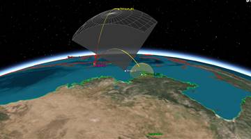
Surveillance.
"Imagery for?agricultural and resource monitoring, disaster management, land use mapping and urban planning,"
First of two testbeds for a 60-satellite earth-observing constellation.


.png)